- A
- A
- A
- ABC
- ABC
- ABC
- А
- А
- А
- А
- А
Geography of Global Changes and Geoinformation Technology
Spatial Data and Applied Geoanalytics
Low Carbon Development
 Атлас изменений окружающей среды - Кыргызская Республика (Atlas of Environmental Change - Kyrgyz Republic)
Medvedev A., Alekseenko N., Kuramagomedov B. et al.
United Nations Environment Programme, 2025.
Solomina O., Matskovsky V.
Palaeogeography, Palaeoclimatology, Palaeoecology. 2025. No. 666.
In bk.: Reference Module in Earth Systems and Environmental Sciences. Oxford: Elsevier, 2025. P. 1-11.
Колосов В. А., Zotova M.
Published online. 10.1080/14650045.2021.1952184. Taylor and Francis, 2021

The project of a 2nd year student was included in the list of the best at the international conference Esri

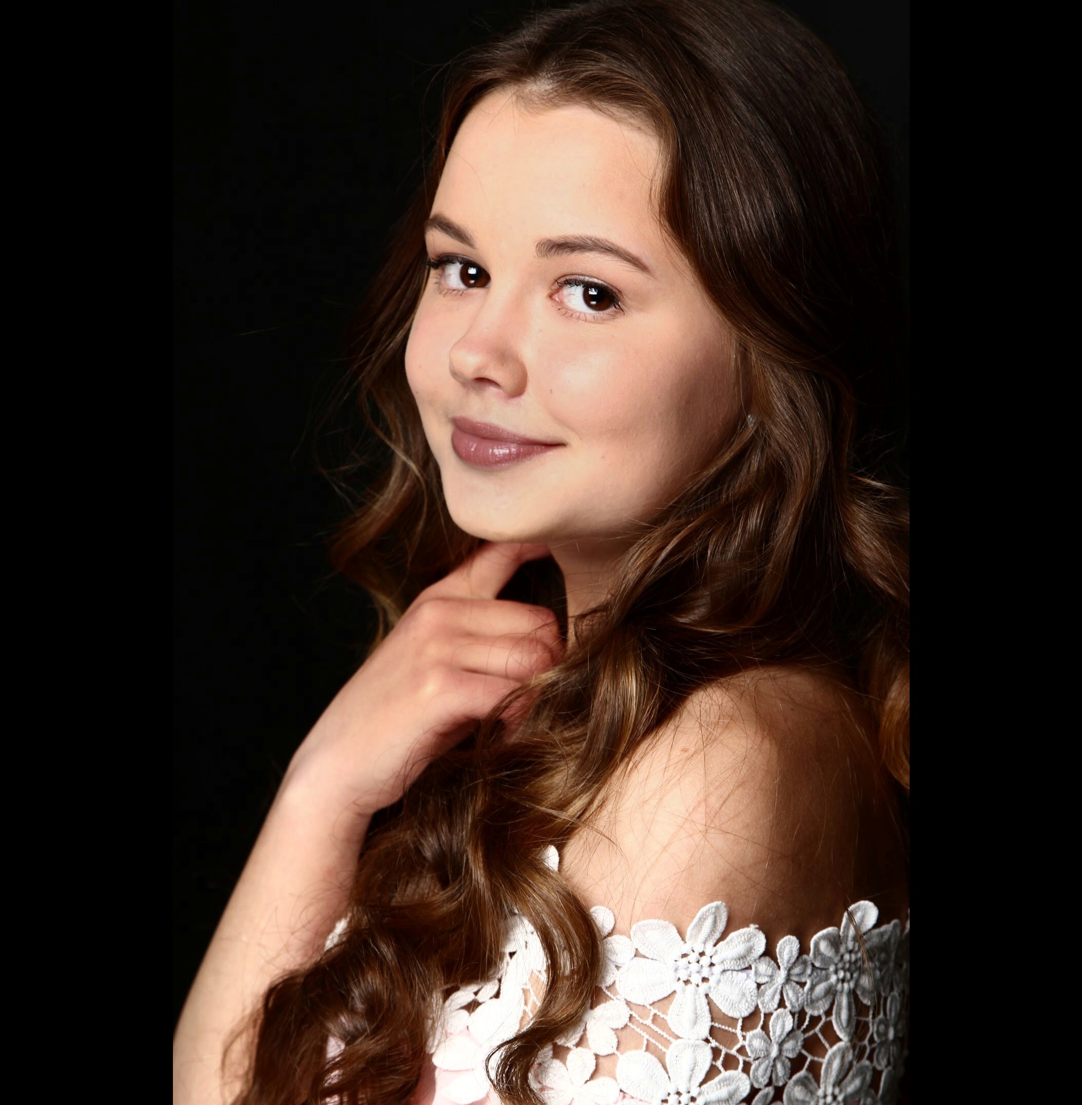
Anastasia Shinkarik, 2nd year student of the Geography of Global Changes and Geoinformation Technology program
Speaking in front of such a respected audience, evenonline, is always quite difficult for me. Of course I am glad that they believed in me and offered to participate in this conference!

Tatiana Aniskina
I am very glad that the organizers and participants of the conference appreciated the work of Ms. Shinkarik and honored her in the list of the best presentations, along with the presentations of the representatives of big companies as Lukoil, the Hydrometcenter of Russia, the Ministry of Emergency Situations of Russia for the Republic of Bashkortostan. Her work really deserves special attention. Firstly, because it is very relevant topic that concerns absolutely everyone. Secondly, Anastasia did a huge amount of work, comparable to full-fledged projects of entire departments of commercial organizations. She applied the skills and knowledge gained in the GIS and remote sensing classes to the maximum effect, providing a concise and understandable GIS application that can be used by people. As a lecturer at the Faculty of Geography and Geoinformation Technologies and the head of the Geodata Center, I would like to note that we are happy to support our students' projects, providing them with the necessary geodata for research and advice on available GIS methods and tools.