The Fourth Seminar of the Series Was Held with the Participation of a Leading Foreign Specialist, Scientific Supervisor of the Laboratory F. Tatarinov
In the period from October 31 to December 05, 2023, the International Laboratory of Landscape Ecology conducts a series of seminars on the topic "Current methods and approaches in landscape and environmental research”. On November 21, a seminar was held on the topic "Geoinformation mapping of natural and anthropogenic landscapes according to remote sensing data"

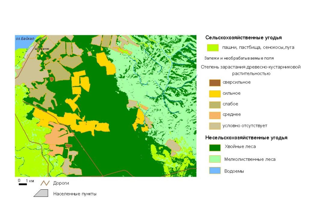
Marina Tsydypova, a researcher of the laboratory, spoke about the methods of geoinformation mapping of forest vegetation, as well as ways to study the processes of overgrowth of agricultural lands with woody and shrubby vegetation and drying of coniferous forests based on remote sensing data. The issues of the use of Web GIS technologies in environmental protection and educational activities were highlighted. The article presents the experience of developing a scientific and educational geoportal in order to ensure the educational process, which involves online access to geospatial data for students, teachers and all interested parties for use in educational and research activities. Students and teachers will be able to use this experience as a demonstration resource and as a tool to gain practical skills in developing and creating their own geoportals, individual maps, geodata databases online, preparing field routes and publishing field research data.
