The Spring Series of Seminars of the International Laboratory of Landscape Ecology Continues
On May 22, 2024, the next seminar "Mapping of disturbed peatlands for fire hazard assessment and implementation of climate projects using remote sensing data" was held.

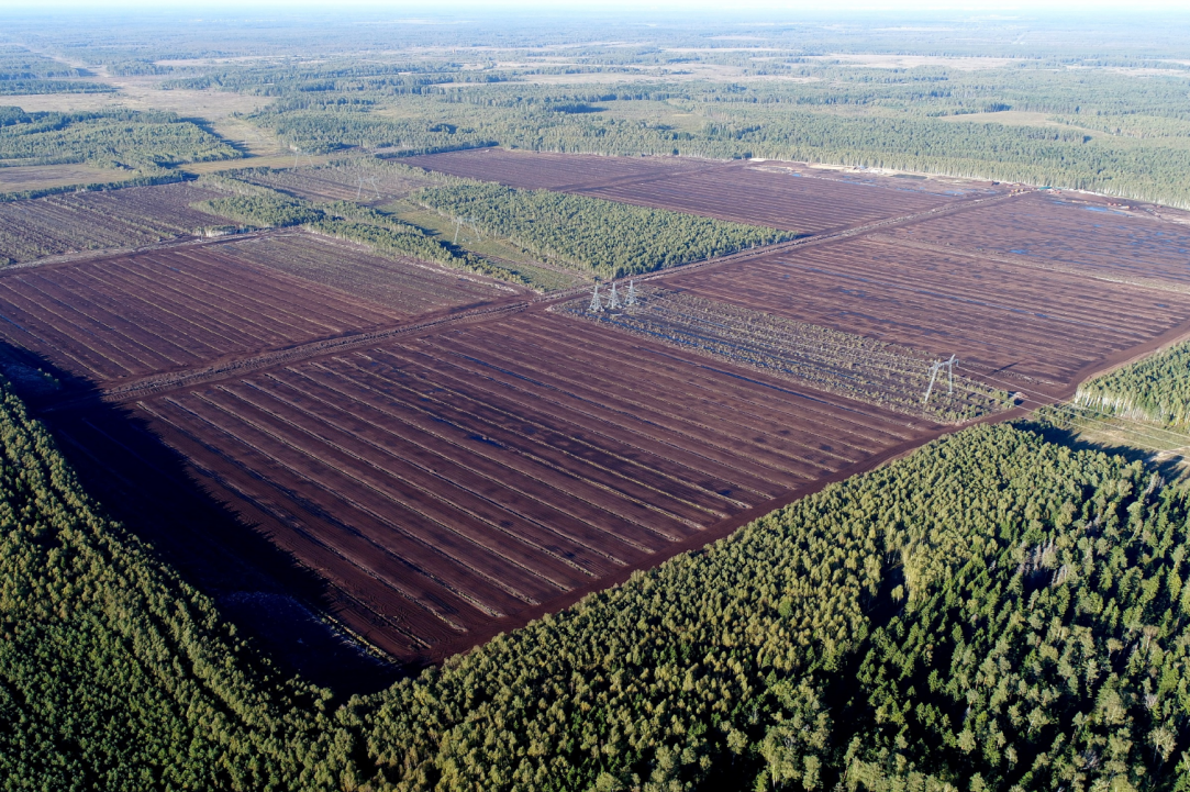
Timofey Orlov, PhD in Geoecology of the Institute of Geoecology of the Russian Academy of Sciences, PhD in Geophysics, presented the report "Mapping of disturbed peatlands for fire hazard assessment and implementation of climate projects using remote sensing data". The report covered the issues of classification and mapping of peatland condition on the basis of multispectral Sentinel imagery, highly detailed satellite imagery and UAV imagery. The presented approach allowed to identify a rather wide set of classes that define the main processes going on in peatland, primarily greenhouse gas emissions and fires. The second key area discussed in the report was the problems of mapping greenhouse gas emission factors in the implementation of climate projects on disturbed peatlands and the specifics of using remotely sensed data when taking into account the baseline and project scenarios.
